| Date | Monday, November 18, 2019 |
| Weather | Clear, sunny |
| One-way / two-way | 7.4 / 14.8 miles |
| Trailhead elevation | 8,150 ft |
| Summit elevation | 9,926 ft |
| Peak class / Difficulty | 1 / Moderate |
| Type | Urban-NP |
| People (groups) | Approx. 10 |
| Animals | Birds, esp. crow |
| Start time | 7:00 am |
| End time | 2:39 pm |
| Points & Junctions | Distance | Elevation | Time | Reverse |
| Trailhead | 0 miles | 8,150 ft | 7:00 | 14:39 |
| Sunrise Lakes Trail | 2.7 miles | 9,220 ft | 8:30 | 13:18 |
| Pack Trail | 4.9 miles | 9,100 ft | 9:38 | 12:11 |
| Clouds Rest Summit | 7.4 miles | 9,926 ft | 10:50 | 11:25 |
After I almost died on Class 2 Sawtooth Peak a few weeks ago, I decided to focus on Class 1 hikes for now. Maybe next year, I’ll do a few Class 2 peaks.
And unlike then, I also decided to split my overnight hiking trips into segments. I drove up early in the morning and went on a short acclimation hike. I withheld the longer hike for the next day.
Accordingly, I summited the Class 1 Alta Peak in Sequoia National Park (Peak #1) two weeks ago.
Inspired by the above Youtube video by a local hiker named Yongsung Kim, I chose Cloud Rest as my SPS Peak #2.
Segment by Segment Description
To the Trailhead
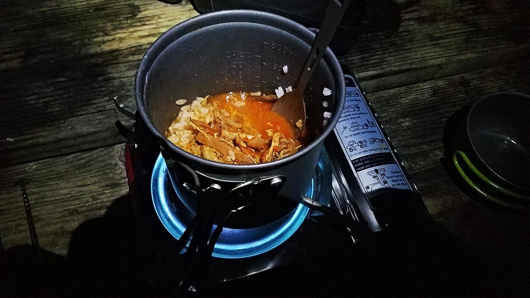
Maybe it was the comfort and peace at the half empty Camp 4, but I was actually fully awake by 3:30 am. At low to mid-40s, the temperature was chilly but not uncomfortable. I saved time cooking by throwing the leftovers (rice, spicy stew, and grilled pork) into the pot. Cleaning, washing, and packing took longer as it always seems. I did everything with a headlamp, including shooing away the scavenging raccoon, though people occasionally walked through the moonlit campground without any light like half awoke zombies.
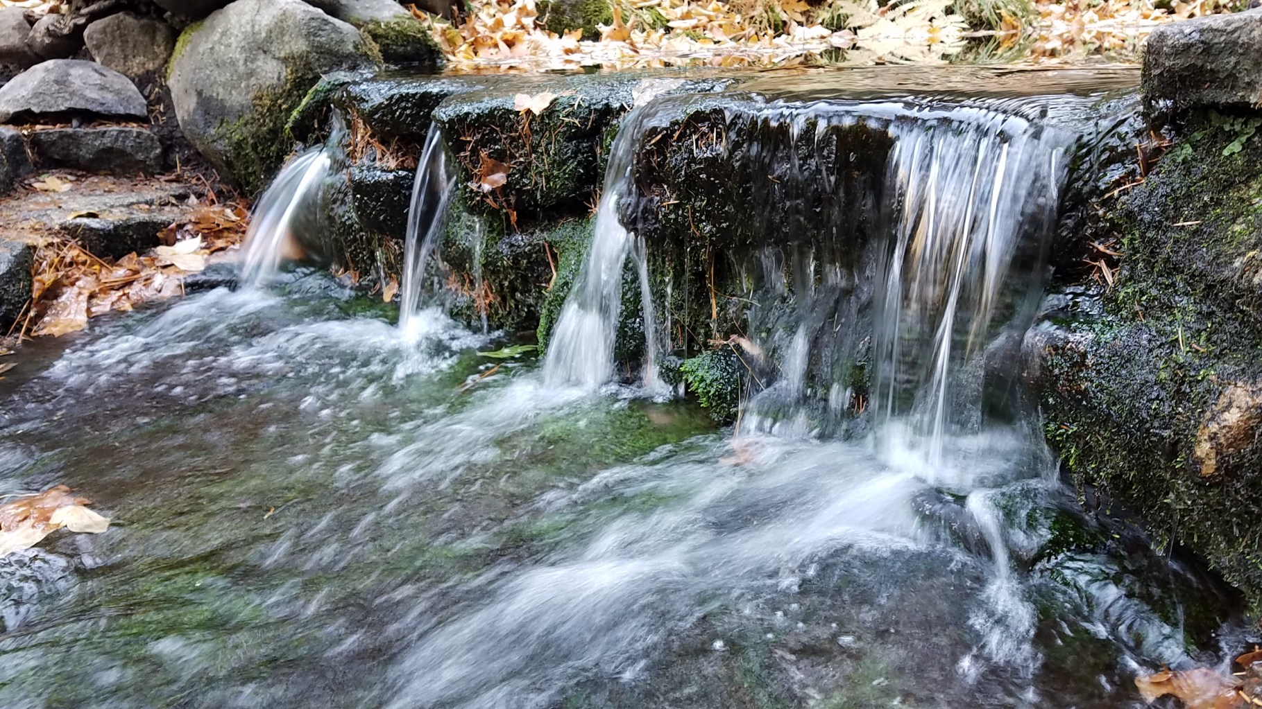
I hit the road at 5:30 am. On the way, I made short detour and stop at the Fern Spring to fill my water bottles. It was completely dark in the forest, so I did everything with the headlight on.
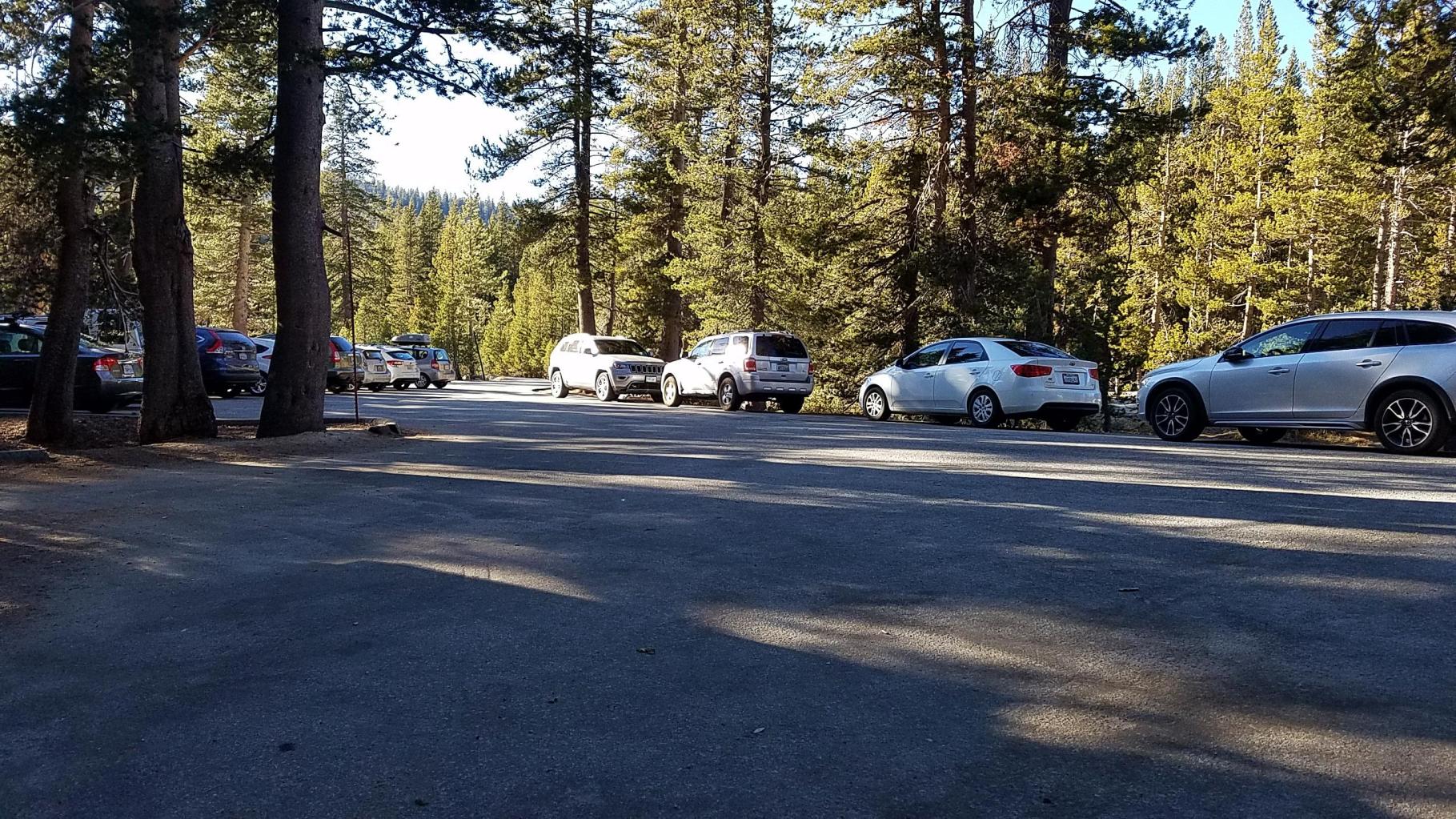
Hwy 120, or the Tioga Road, gently curves and rises through the forest is beautiful and verylong. It is about 75 miles long stretching from the Yosemite Valley to Mono Lake. From the valley to the Cloud Rest trailhead, it is about 46-miles distance. It was dark and quiet most of the way with dawn breaking just before Olmsted Point. By the time I arrived at the trailhead at about 6:45 am, it was quite bright. There was only one other car.
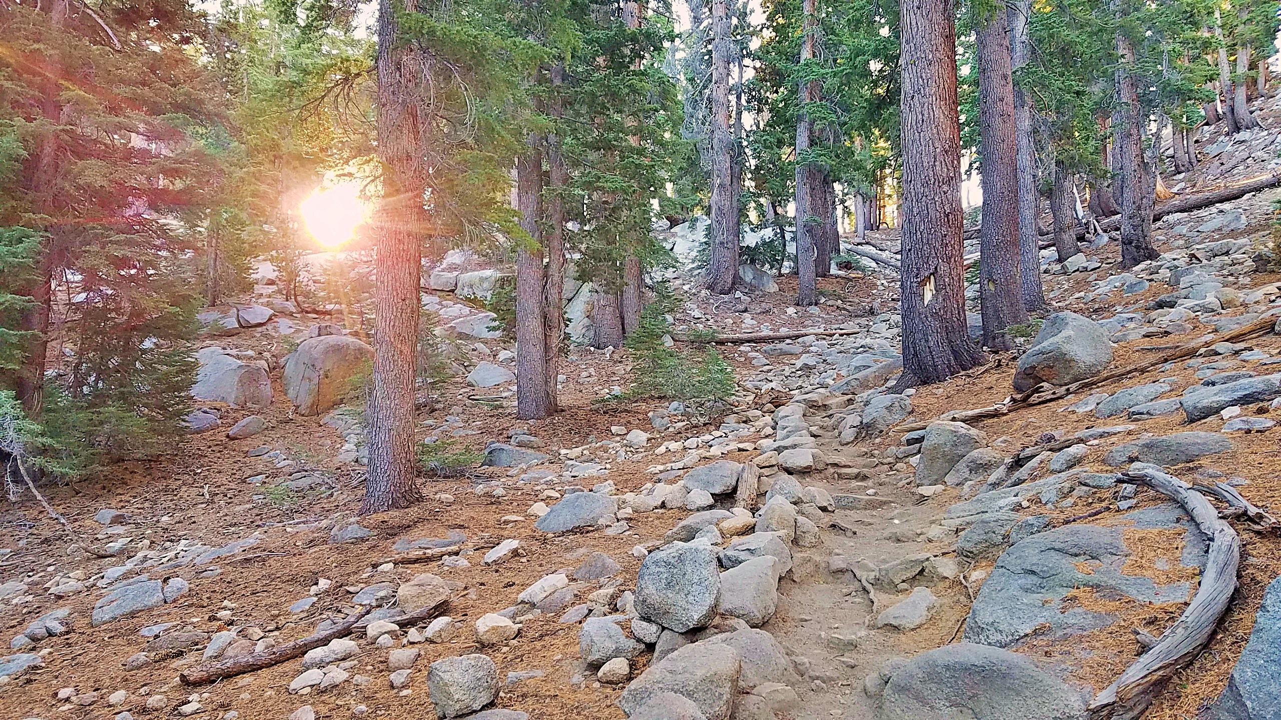
After putting the food box in the bear cage, I hit the trail at about 7:00 am.
On “Urban Trails”
In the above table, I describe the trail as an “Urban-NP” which may need a short explanation.
It is true that Yosemite National Park (NP) is actually neither urban nor easily accessible as it is practically in the middle of the 400 mile long Sierra Nevada range. But the park is very popular, almost to the point of being “trendy.” This draws lots of people who may be considered more as “casual visitors” rather than serious “hikers,” even on a 15 mile hike to Cloud Rest.
The urban-casual-ness means that there may be some litter on the trail as well as inexperienced and ill-equipped hikers. The litter in the bear cage at the trailhead is an example of the highly casual nature of some visitors (see below). Tissues on the trail, which I saw on two occasions on this hike, is another indication. I didn’t see any water bottles this time, you often see on urban hikes. On very urban trails, people even leave behind their dog poop bags on the trail.
Personally, I find them repulsive. But they also adversely impact the environment and the wildlife. They certainly decrease your enjoyment of nature. It violates perhaps the most important tenet of hiking: Leave no trace behind.

To the Sunrise Lakes Trail Junction
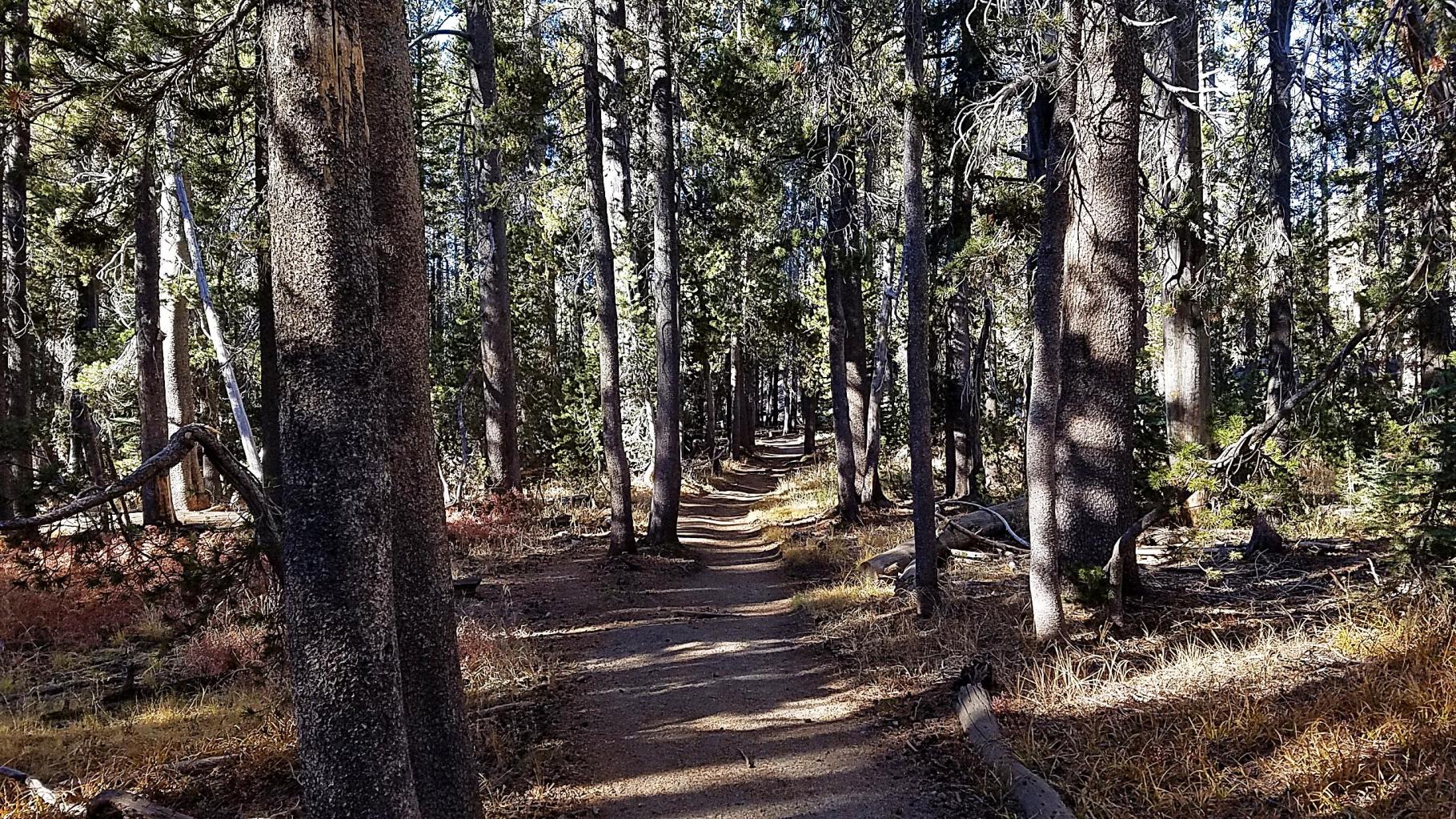
The trail begins easily enough. The first section is relatively flat for 2/3 of the way to the Sunrise Lakes Trail Junction.


But the last 1/3 has a steep climb of about a thousand feet (about 8,200 to 9,200) making this part perhaps the hardest part of the whole trail.

But the air was crisp, and it was beautiful all around, so it was worth it. The smell of the forest is energizing.
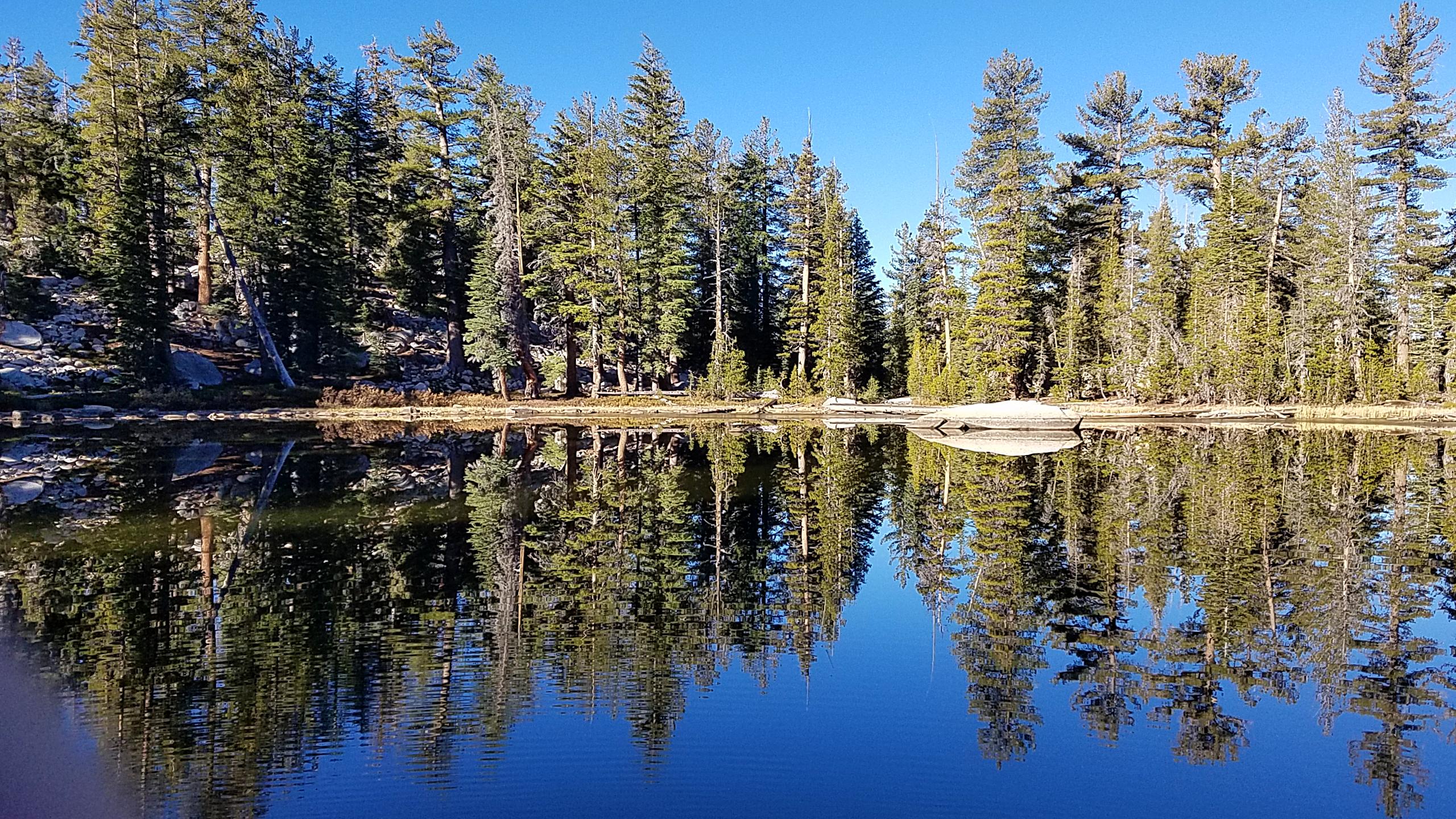
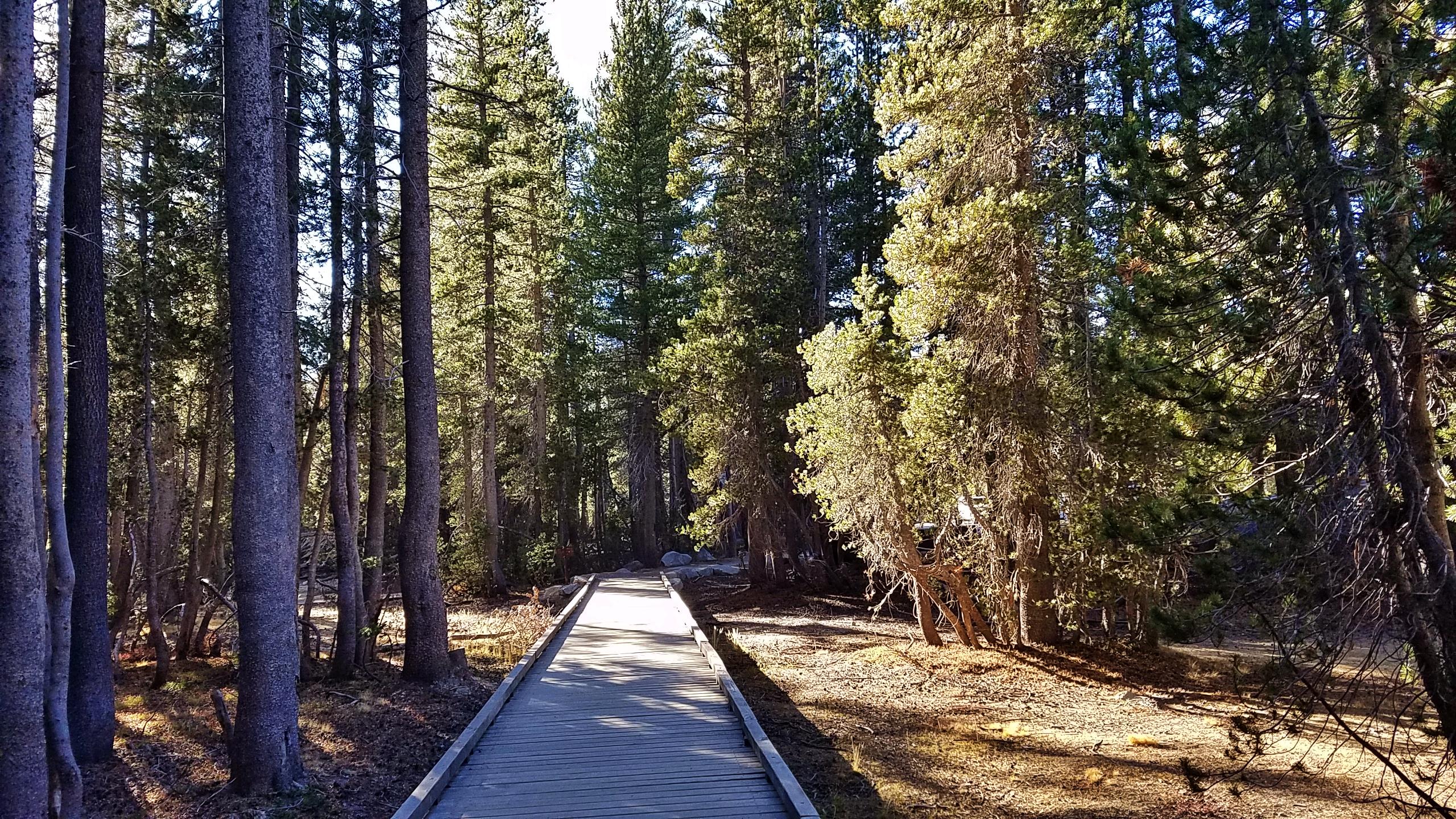
To the Pack Trail Junction
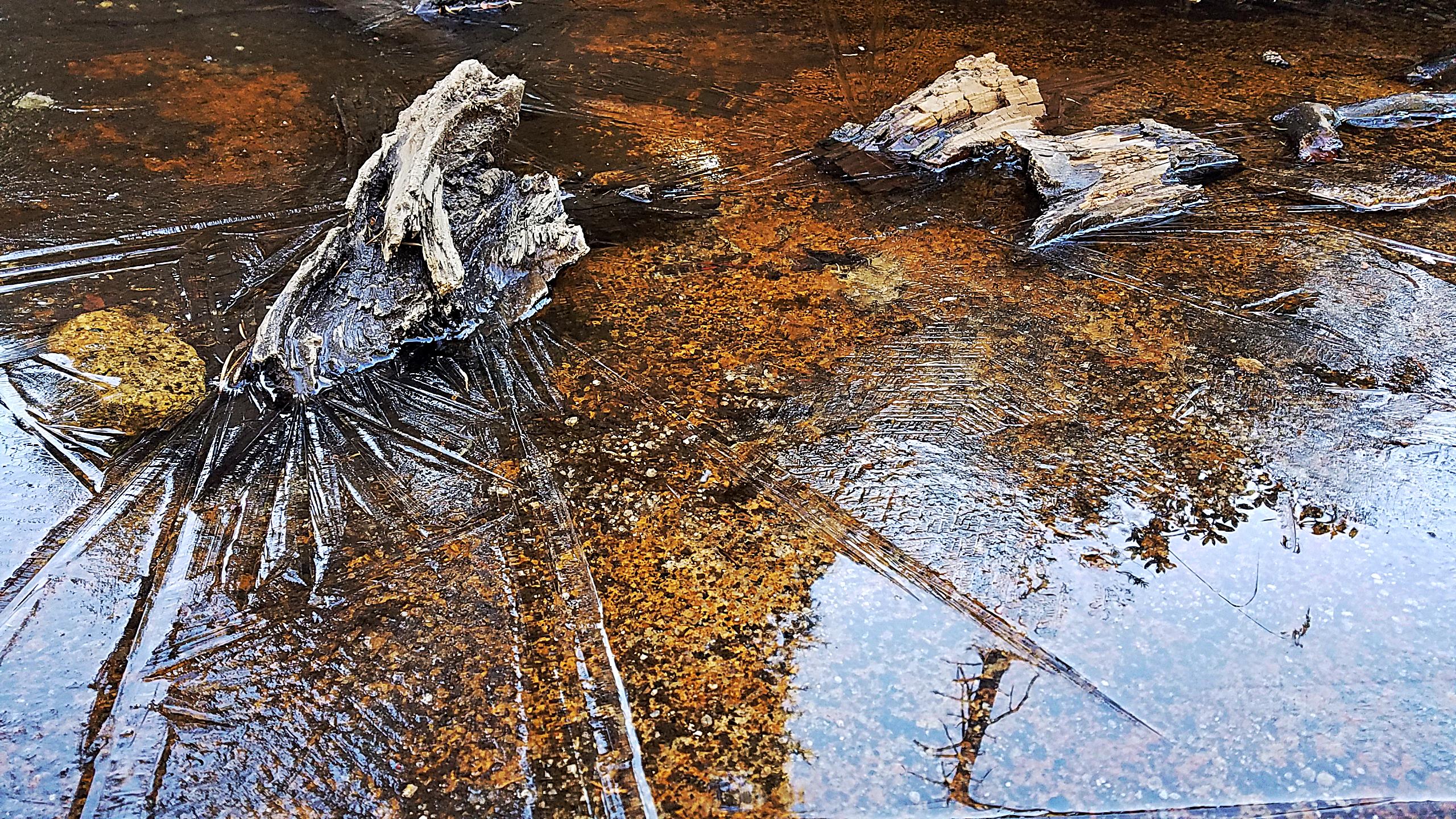
Then it’s only a couple of hundred feet down to mostly even trail to the next junction. It was a nice break at the unnamed lake, which perfectly mirrored the clear blue sky. There was some icing on the southern shore.
Gaiters in all Weather
Pictured below is my new snow gaiter. There weren’t snow on the trail but I decided to wear gaiters in all seasons since the Sawtooth Peak hike. Why?

First, it keeps debris out of the shoe. At Sawtooth, for example, I was walking off-trail up and down on sandy terrain. Dirt and pebbles fell into my shoe and I had to empty it occasionally.
Second, it keeps my shoestrings from latching onto the hooks on the top of the boot, causing me to trip. I’m pretty sure-footed, and I usually catch my falls, but in the past, I found it very tricky.
With gaiters, it appears that the problems have been solved!
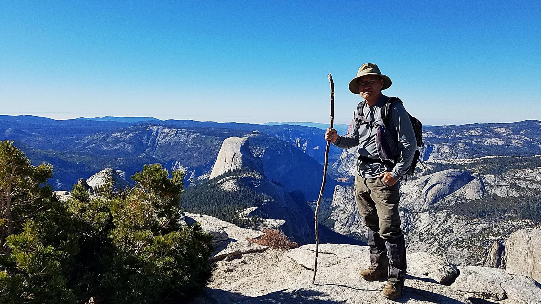
The Cloud Rest Summit
The last 1/3 of the trail from the Pack Trail Junction at about 9,080 feet is a moderate climb up the 9,926 ft summit.
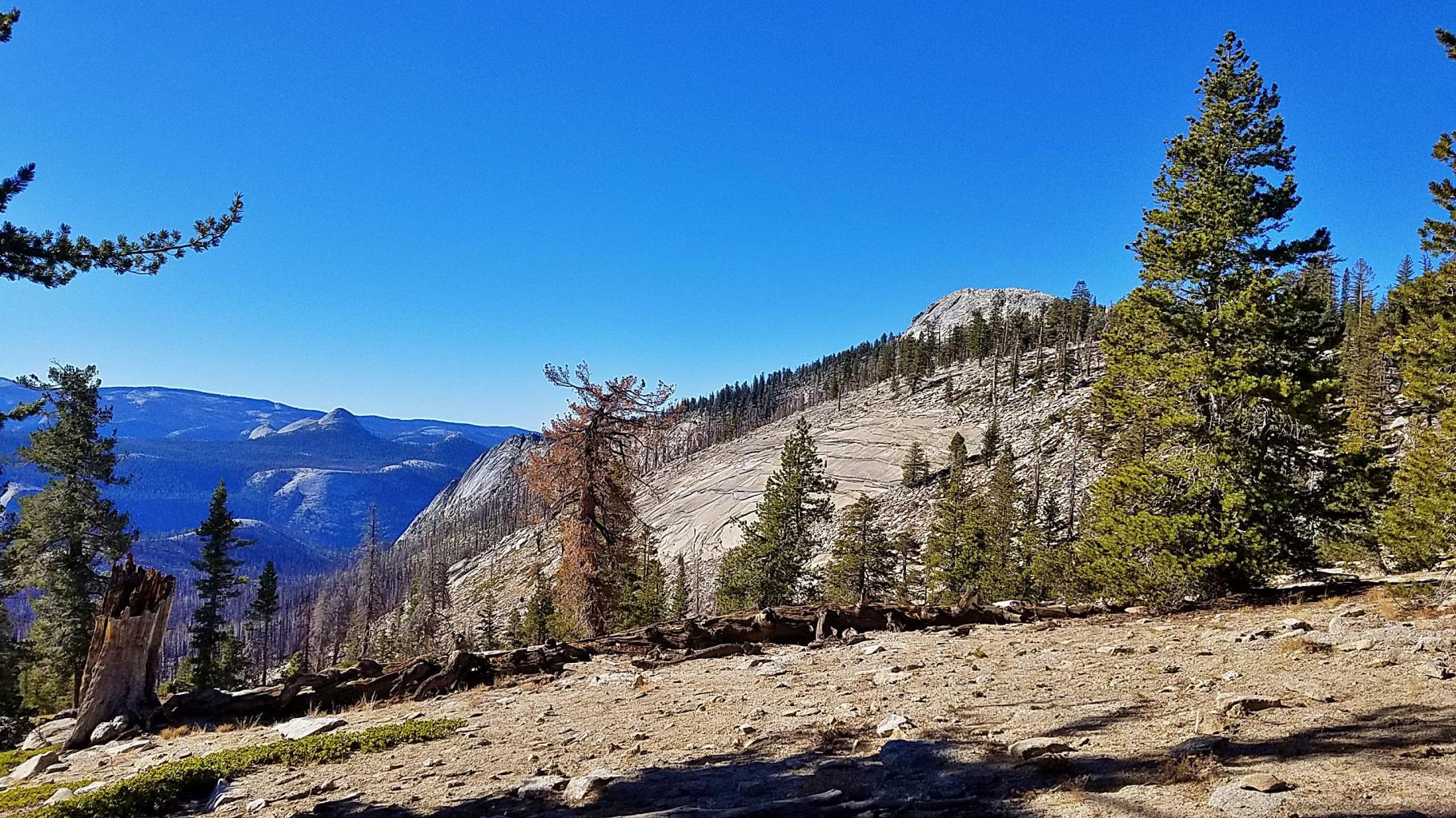
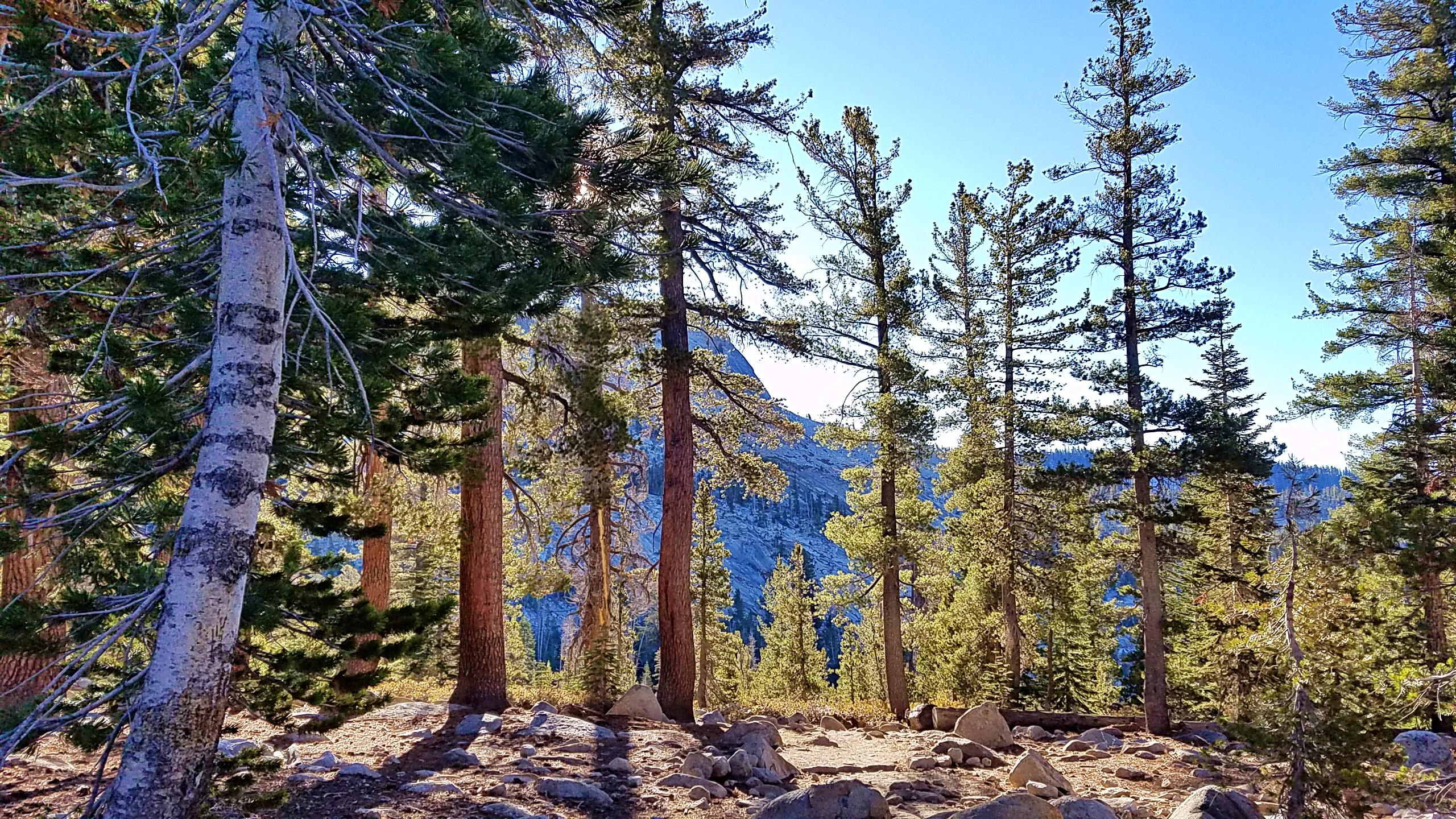
It was not too bad, especially when the splendid vistas on the way up caused you to stop and pause in awe – immobile. Maybe halfway up, I just had to sit a little and contemplate the awe inspiring views.

In the last stretch to the summit, I met two friendly guys, one from Australia and the other from South Africa who only met the day before at the hostel.

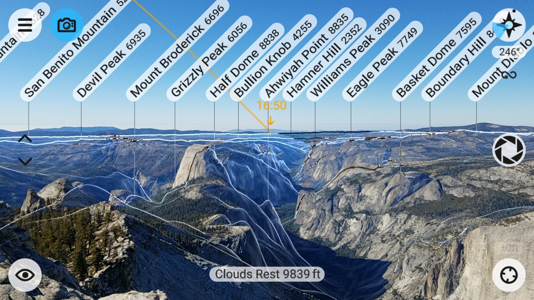
I have to say that Cloud Rest offers the most exquisite view of all the trails I’ve been on so far. It is highly recommended.


On the Way Back
After about 30 minutes on the summit, I began my climb down. On the way down, I was surprised at the number of people coming up before and right after the Pack Trail Junction. Maybe there were about 10 groups altogether. Some people were alone, including several women.
Mostly they looked fit and prepared. But one person gave me a little worry. He appeared to being carrying only one plastic water bottle. For me, that would not have been enough.
Fortunately, as it was an urban trail, he had many company on the trail who could come to his aid if he needed it.